
High above, narrow plumes of water vapor now stray from their old lanes. They slip poleward and tilt the seasons, and cities feel the change. These sky-borne bands carry Amazon-scale moisture, then drop snow or sheets of rain when they slow over land. Routes shift, so familiar wet months wobble and new flood zones appear. Scientists trace the drivers and warn that plans must adapt. These atmospheric rivers now redraw where water falls.
What the poleward shift of atmospheric rivers really means
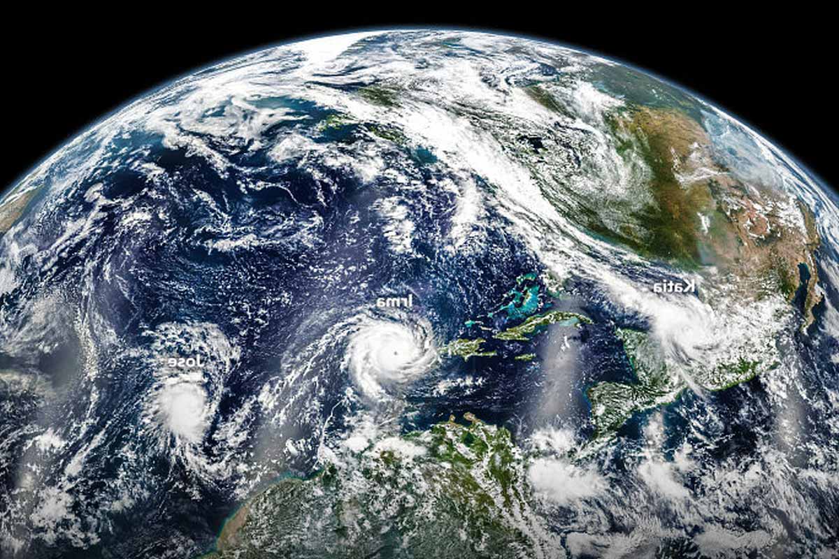
These bands form as narrow plumes that ferry huge water vapor loads, and they run for thousands of miles. The air cools as they stall over land, so vapor condenses into clouds, then heavy rain or snow follows. One burst can refill a reservoir, yet the same plume can overwhelm streets and fields.
A single event can bury the Sierra Nevada under several feet of snow, because moisture stacks up over the range. That snow helps storage, so rivers and taps keep flowing through summer. Flood damage rises at the same time, as melt and runoff speed downhill.
Scientists report that the plumes no longer ride their old lanes. The paths have edged several degrees toward both poles, which moves storms by hundreds of miles. The shift surprised many modelers, because climate models flagged warming impacts, yet not this specific move.
How scientists traced four decades of storm pathways
A team at the University of California, Santa Barbara, led by Zhe Li and Qinghua Ding, rebuilt past weather in fine detail. They used ERA5 reanalysis from the European Centre for Medium-Range Weather Forecasts. The record blends satellites, balloons, and ground stations since 1979.
The method fills gaps, then produces hour-by-hour fields of wind and moisture. Corridors with extreme water vapor transport reveal the strongest plumes. Those corridors map the tracks that atmospheric rivers usually follow across the ocean and onto land.
After about forty years of data, the signal stood out. Tracks now sit several degrees farther poleward, near the distance from Los Angeles to San Francisco. That change already shifts where rain and snow tend to fall, so places that once counted on winter storms sometimes miss out.
Practical impacts on water supply, flooding, and risk
Many regions rely on three or four strong plumes each winter for most of their water. When routes slide north or south, storage drops because reservoirs see fewer refill events. Snowpack also suffers, and the seasonal melt that feeds rivers and canals weakens.
Towns with little history of these storms face a new kind of hazard. Drainage networks often prove too small, while flood maps miss current hot spots. When atmospheric rivers arrive, neighborhoods that planners never flagged can flood because design rules assumed older patterns.
Warming air holds more vapor, so the plumes carry more moisture. Some areas receive fewer events, yet the hits run stronger and faster. Others see storms more often, and the sequence compounds risk because soils stay wet, levees strain, and warning time shrinks.
Why oceans and jet streams steer atmospheric rivers north and south
Uneven warming bends the winds that steer storms, and the jet streams creep toward the poles. These currents act like rails, so plumes tend to follow the tracks. When jets nudge north or south, atmospheric rivers shift with them and landfall zones change.
According to the UCSB team, sea surface temperatures in the tropical eastern Pacific play a key role. Variations there help set the pressure and wind patterns that guide storms. The evidence suggests natural swings drive much of the observed move, not only human forcing.
Ding notes that the signal does not point solely to anthropogenic change. Models captured many warming effects, yet this precise storm-track slide was not forecast. The team’s hypothesis blends ocean variability with background warming, so risks rise while the drivers interact.
Planning for a new climate baseline across regions
Past norms no longer match reality, and the calendar also drifts. Reservoirs built to snag January storms may sit low if events arrive in February. When atmospheric rivers track north, southern basins lose inflow, while northern watersheds face new flood peaks.
Managers need flexible rules that shift with the storm clock. Storage can expand with off-channel basins, and smart gates can pass floods yet save water. Updated flood maps help, and towns can raise defenses where the new tracks hit hardest.
Warning systems matter because timing often decides losses. Warmer storms drop rain where snow once fell, so floods can start at once. Snow acts like a reservoir, while rain runs off fast; as snowpack shrinks, summer supplies fade and heat waves bite harder.
Preparing today for tomorrow’s changed storm map
Storm tracks won’t snap back, so plans should evolve. Update flood maps, size drainage for bigger peaks, and protect critical services. Use flexible reservoir rules that save water while passing dangerous flows. Expand winter storage with off-channel basins, then invest in alerts that reach every phone. Farmers adjust calendars as snow turns to rain, while cities design heat-resilient summers. When communities act early, they turn risk into readiness because atmospheric rivers will keep moving and testing what we build.