
The polar seafloor is no longer a blank zone; it just gained texture and weight. Beneath Antarctica, scientists have mapped a vast canyon network that reshapes how we think about water flow, ice stability, and future seas. A new atlas in Marine Geology, led by the University of Barcelona and University College Cork, identifies hundreds of giant channels. The scale is striking, yet the practical stakes matter more, because these valleys guide heat, salt, and meltwater. As models absorb the findings, the world gains sharper tools.
A continent-wide atlas exposes the hidden relief
Researchers compiled high-resolution bathymetry from more than 40 international expeditions and built the first standardized, continent-wide map of submarine canyon systems. Many features hid in plain sight because sonar surveys remain hard under floating shelves and across remote sectors. The new synthesis resolves gaps and aligns methods, so comparisons finally make sense.
Across Antarctica, the team cataloged 332 previously unmapped canyons—five times earlier counts. Several descend beyond 4,000 meters. These valleys work like underwater highways that steer sediments, nutrients, and dense water between the shelf and the deep Southern Ocean. Their size and branching rival the planet’s largest known submarine canyons.
Lead author David Amblàs notes the coherent picture now spans the whole margin. The canyons are widespread, yet tied to ice behavior past and present. That link matters because the valleys record ancient advances and retreats. They also help shape what happens today, as water follows the easiest paths and repeats that invisible choreography.
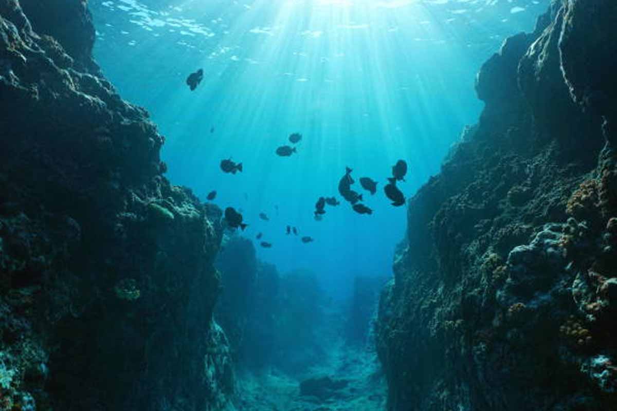
Why Antarctica hides such vast submarine highways
The new atlas shows how shelf geometry and canyon slope set the rules for flow. Steep heads can focus currents, while broad troughs collect fine material and funnel it seaward. Because gravity, density, and topography interact, small bends alter speed, mixing, and the routes that water parcels choose.
Surveying these pathways is difficult, yet modern multibeam sonar, autonomous platforms, and careful compilation close the gap. The authors pulled scattered grids into one frame and ranked confidence levels. That approach reduces blind spots under ice shelves, where critical exchanges occur but ships cannot pass.
The result is a practical guide for process studies. Modelers can now seed virtual currents along real channels and test how heat reaches shelf cavities. This matters because a small change at a canyon mouth can redirect energy under ice. That shift can raise melt rates or, instead, keep heat offshore.
From ice dynamics to ocean engines: what canyons control
Canyons help launch dense shelf water into the abyss, and that export powers the global thermohaline engine. As saline, chilled water sinks, it ventilates deep layers and carries oxygen far from the coast. Because the paths are defined, the timing of these pulses depends on local winds, sea ice, and tides.
However, the traffic runs both ways. Warmer circumpolar water can ride the same grooves landward. When that heat reaches shelf cavities, basal melt accelerates. Fresh outflow then spills back through the canyons and spreads across the surface, changing stratification and, therefore, storm feedbacks.
Co-author Alan Condron stresses the exchange is central, not incidental. The canyons govern how heat meets ice and how meltwater escapes. That coupling links glacier stability to open-ocean conditions. It also links faraway fisheries and climate patterns to choices made along these narrow routes.
East–West contrasts that refine risk and timelines
The atlas highlights a sharp divide across the continent. In the east, canyon systems branch widely and show long, mature networks. That pattern fits a history of more persistent ice cover and steady sediment delivery. The geometry suggests endurance, with multiple tributaries feeding broad trunk valleys.
The western margin looks different. Canyons there are steeper, straighter, and shorter, a signature of episodic, more recent glacial action. That shape is consistent with today’s observations of rapid change. The region’s shelves admit warm water more easily and, as a result, show higher basal melt sensitivity.
Because the contrasts are clear, scientists can better reconstruct past ice flow and set tighter bounds on rates of retreat. The mapping also improves where moorings and field campaigns should go next. With one canyon, a clean signal emerges; with another, turbulent mixing dominates and hides the trend.
What better models now project for Antarctica and coasts
Many climate models once treated the seafloor as a smooth plain. That shortcut missed how walls, sills, and bends steer currents, particles, and heat. The new atlas changes those assumptions. With realistic depth, slope, and planform, simulations can follow canyon trunks and quantify shelf-basin exchange.
This improvement feeds sea-level forecasts. If inland meltwater finds a fast highway, it reaches the ocean sooner and raises seas earlier. If blockages slow it, the rise may lag, while stress shifts internally. Either path affects coastal risk planning, insurance, and ecosystem timing, from plankton blooms to krill.
According to the authors, the map is a living baseline. As surveys add detail, parameters will tighten, and uncertainties shrink. Decision-makers gain lead time while researchers target hotspots. The next steps include autonomous vehicles inside key troughs, year-round moorings, and data sharing that keeps the atlas current.
What this canyon atlas means for the coming decades
The stakes reach far beyond the poles, because Antarctica sits inside the world’s ocean engine. With 332 new canyons charted and their roles clearer, science can connect local physics to global outcomes with more confidence. The atlas does not close debates; it organizes them, speeds tests, and guides action where it counts.